Our Drone base aerial technology is an efficient, affordable method for contractors to stay on top of the needs of their project. From project start to completion, drone technology delivers the data that project managers need to keep timelines intact, stay within budget, and ensure investors are pleased with every detail
Here drones can make a huge difference. Instead of analyzing over line drawings and elevations in CAD, a more proactive approach is to analyze 3D data with complete aerial analytics. A key advantage of thinking about aerial analytics rather than drawing is that they are highly detailed and can be produced in quick time, making it possible to conduct studies and planning in a much shorter time span.
Brief
Traditionally, most of the GIS analysis has relied on satellite and land survey. However, the drawback of this time taking approach is that it is reactive, we have to wait longer for data collection and processing in order to plan the next move. In a high-traffic situation, only several days are needed to collect enough data required for an analysis.
We Provide
We propose to adopt an airborne survey of mining area using a Drone (UAV) equipped with an HD Image Scanner for fast and cost effective inspection of the whole area to reduce the maintenance planning time and the outage
Benefits of Drones in Construction Engineering & Mapping
- Keep Projects On-Track and On-Budget by Having Access to Up-To-Date Data
- Aerial/Flight Documentation Increases Productivity by Connecting the Field with the Office
- Enhances Progress Monitoring by Providing Real-Time Reports
- Establishes Client as an Innovative Industry Leader and Communicating or Elaborating More Effectively
- Track Assets and Mark-Up Photos
- Access and Document Areas That Are Difficult to Reach
- Limit your Liability and Risk by Documenting Every Step of the Project
Why We?
We provide Surveying the site and creating topographical maps prior to ground-breaking
Our Drone imagery and data can increase the precision of construction bids and which also useful in Project Management & Monitoring
Construction sites possess dangerous and difficult to access areas. With help of Drones can inspect these precarious places without risking life, protecting workers and your company's liability.
With Advanced technologies integrated with drone imaging can provide valuable information about soil and ground quality prior to breaking ground and can help detect heat loss and water leaks in the building envelope after project completion
Deliverables
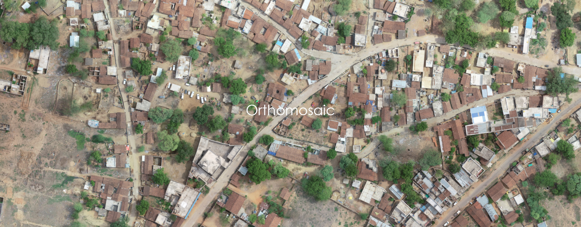
- Map/Plan Overlay
- 3-D Models
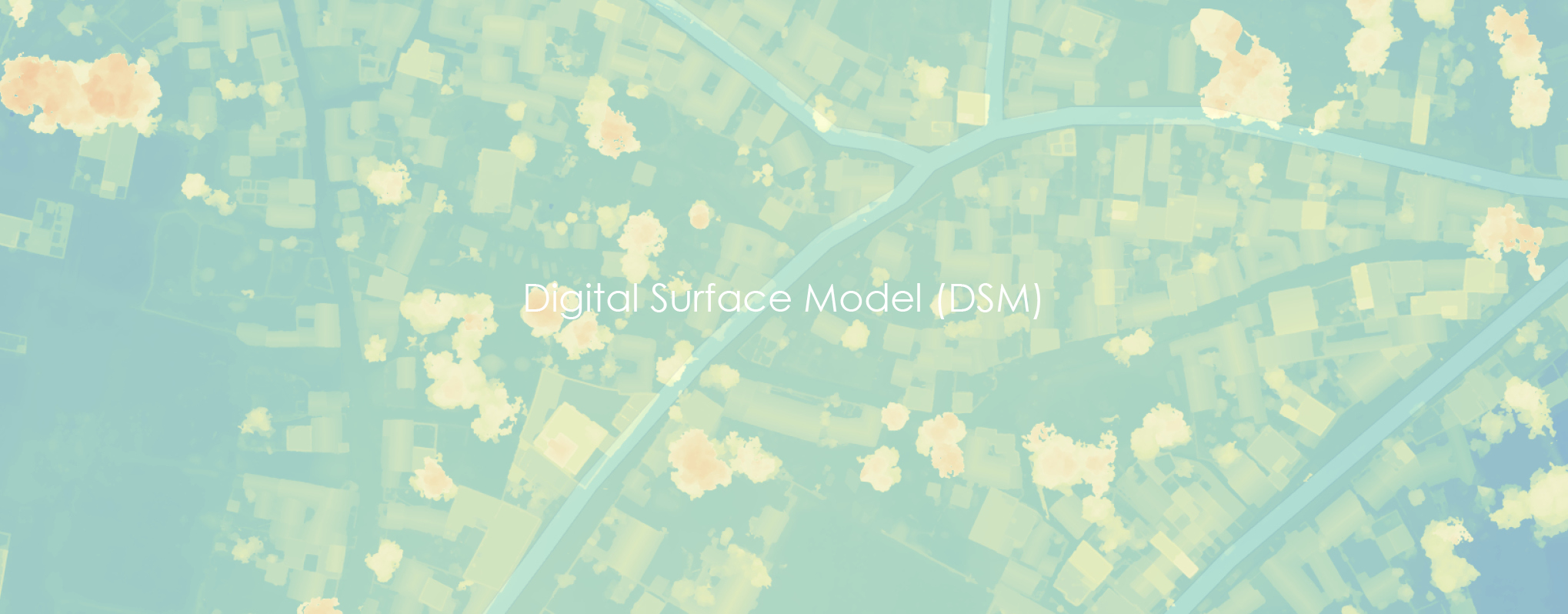
- Digital surface model with accurate elevation details
- Compatible 3D Model with a point cloud and mesh data of the entire area with high accuracy
- Digital terrain model with contours at cm level interval
- BIM
- Project Video
- Aerial Documentation